
Portolan maps. Solarglide present an exploration of ancient sea maps and charts
What Were Portolan Maps & Ancient Marine Charts
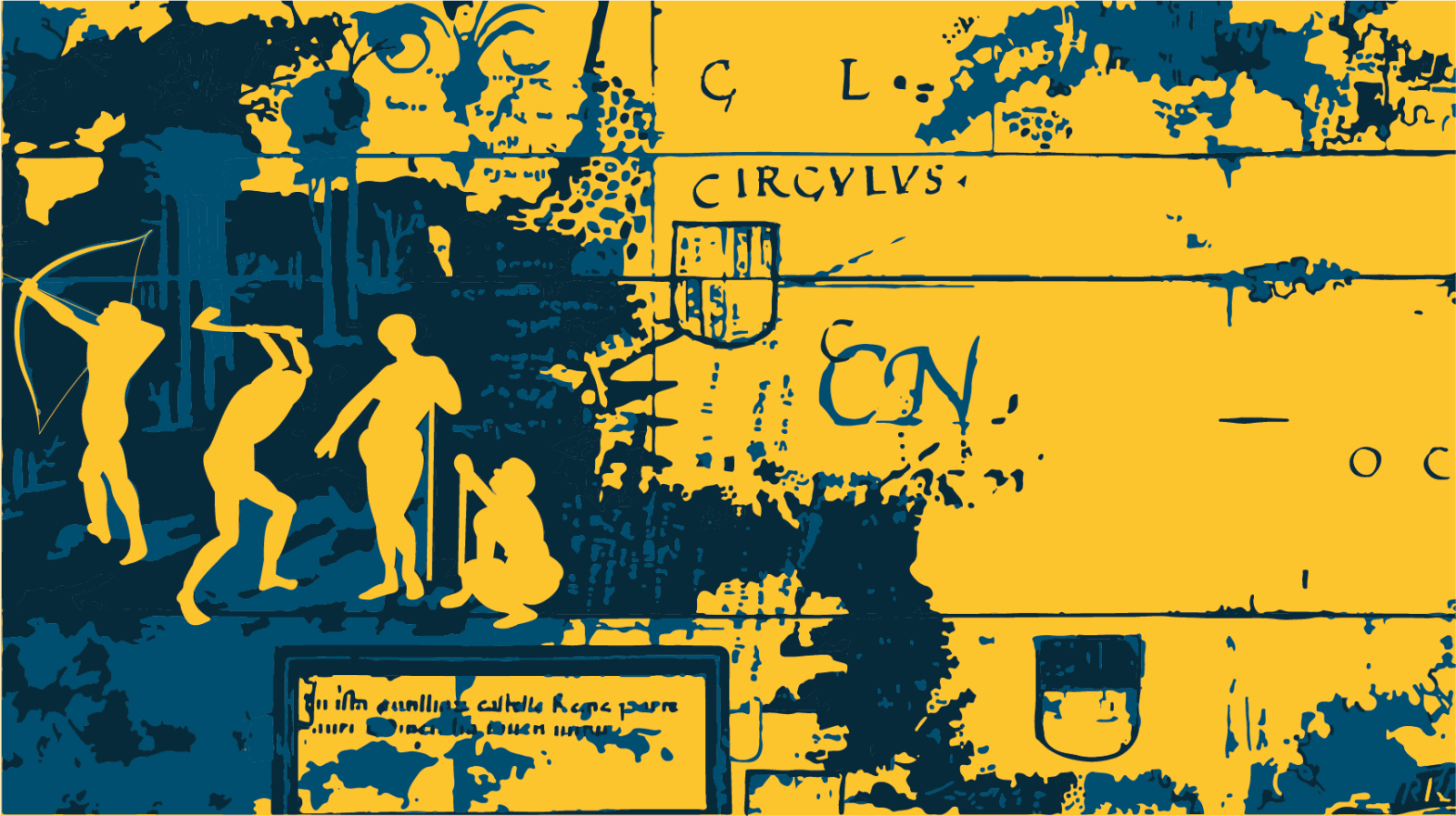
One of the oldest sea maps in the world was created by ANAXIMANDER – the Greek philosopher. The map was in circulation around ( 610 – 546 BCE ) and formed illustrated lands of the world, grouped together around the AEGEAN sea.
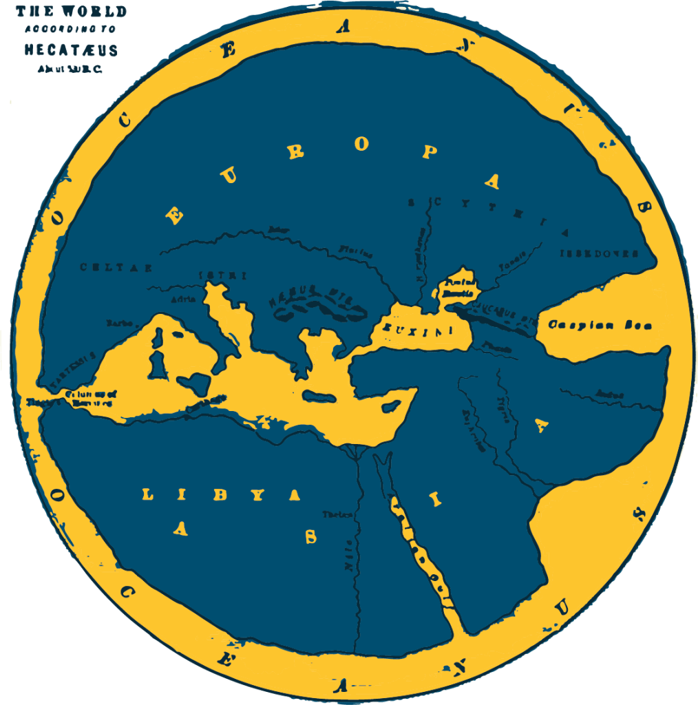
One of the earliest sea maps created : Artist / Philosopher – ANAXIMANDER. illustrated by Solarglide.com
What Did Ancient Sea Maps Look Like
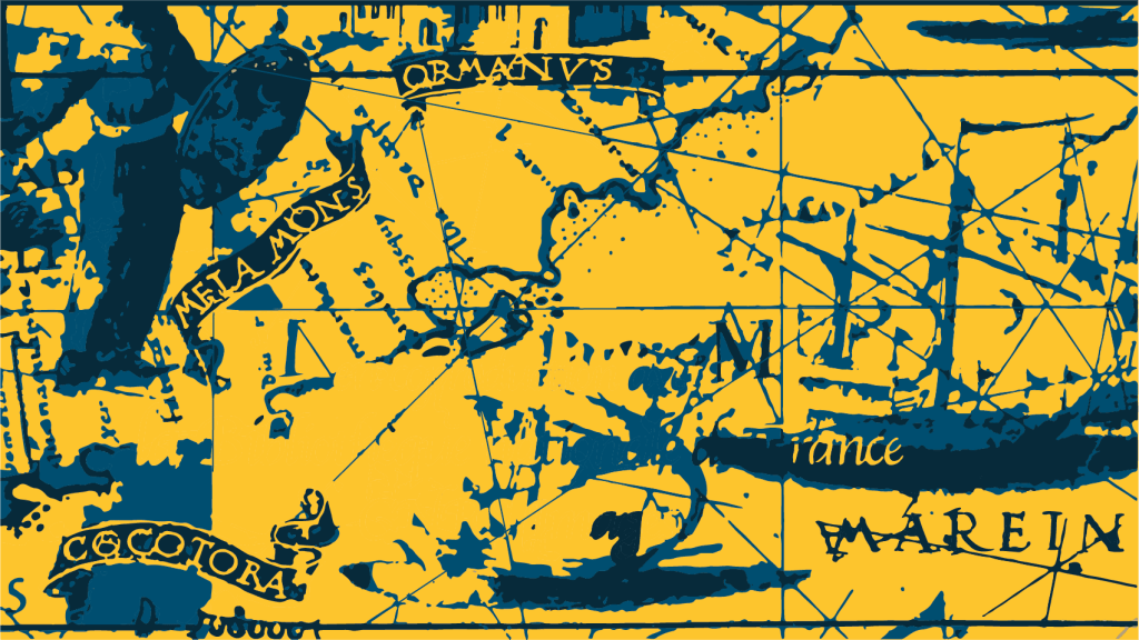
If I mentioned Sea Maps or Marine Charts, what would be the first thing that springs to mind? would it be Buried treasure ? Or perhaps ‘The Seventh Voyage Of Sinbad‘ searching for the ‘Golden Fleece’. Or, would it be Portolan Maps – the earliest marine charts in existence. The traditional Portolan Map would be elaborately decorated with symbols and iconography of anchorage, sea beds and rocks. The sea charts would generally be embellished with the iconic ‘Compass Rose‘ depicting the best possible point of sail for the captain and his sailers.

Solarglide explore Portolan sea maps
How were Portolan Maps Made
To be an original portolan chart, the ancient mariner maps must be from Vellum, which is a prepared animal skin or membrane. Historically, Vellum was made by stretching a calf skin over a wooden frame and processing it. The Vellum was then prepared for writing upon.
What Paint Was Used For a Portolan Charts
What paint was used to create ancient mariner maps. In a recent study, the portolan maps were analysed by various non-evasive techniques, such as infra-red, ultraviolet, digital microscopes along with X-Ray examinations. The maps were found to be covered in a layer of lead white. The principle pigments were made up of yellow ochre and copper-baked green pigment with a carbon black outline. The letters were probably written with an iron-gall ink with golden leaves applied. The glue is thought to have been mixtion glue, which would be applied to the gilded wind rose ( compass rose )
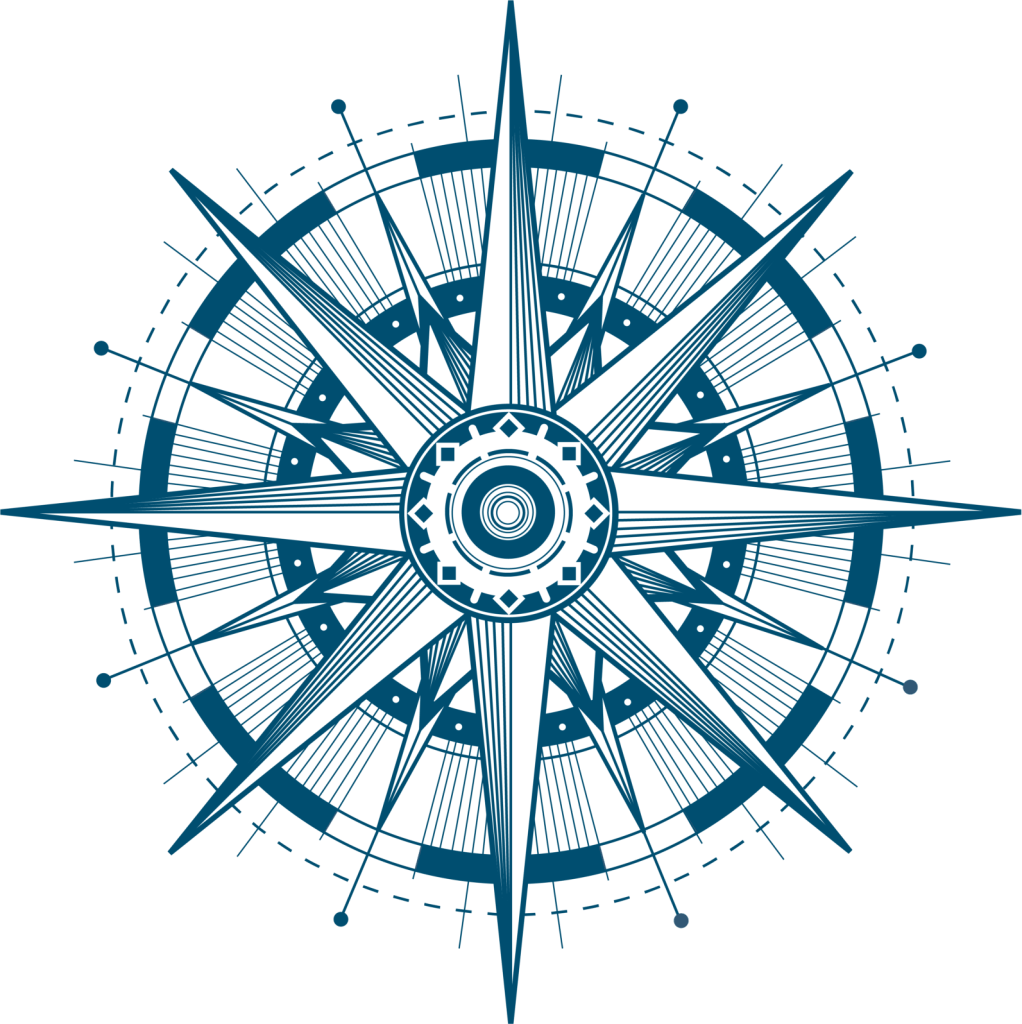
Solarglide illustrate a modern Compass Rose
What Is A Compass Rose On A Portolan Sea Map
The ‘Wind Rose‘ also known as a ‘Compass Rose‘ is usually an eight pointed star-like compass that is illustrated with many navigational radial lines and diagrams attached, also known as ‘Rhumbs’. The compass Rose indicated the best possible point of direction including North, East, South and West. The Compass Rose as we know it today, is still very much being used within the marine and navigational purposes, albeit for decoration purposes.
Solarglide Limited is an international maritime blinds manufacturer providing manual and motorised blinds and window shading solutions for yachts and super yachts. Yacht builders, charterers and yacht owners select Solarglide, providing high quality products and solutions, great customer service and reliable on time deliveries. Find out more at www.solarglide.com / or Contact : [email protected]